
Mailing List
Sign up for our mailing list to get latest updates and offers.
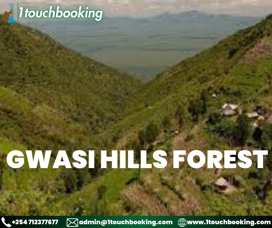
Gwasi Hills is a mountain chain located in eastern Kenya,right near famous mfangano island and near the city of kisumu.Rising abruptly from Kavirondo Gulf to 2,133 ms, the highly dissected massif of the Gwasi Hills, in part forested, covers 1,048 km2 at the northwest corner of Homa Bay County, south of the Mfangano Island. Only along the upper reaches and hilltops of the steep-sloped Gwasi Hills do the deciduous seasonal forests occur, and much of the lower regions are outgrown with thickets and savanna type vegetation which eventually merges with the Lambwe Valley, immediately south and south east. The outer extent of the Gwasi Hills are typified by steep, deeply gullied stack ridges of volcanic rocks called Kisingiri with high points at Gembe (6,230 feet), Sumba (6,034 feet), Gwasi (6,384 feet) and the Usengere, also known as Kwirathia (7,454 feet). The Gwasi’s form a magnificent backdrop at Mfangano, Rusinga, Takawiri and Kimamboni Islands – south of these hills – and at the Ruma National Park, which sits east of these hills. Locally known as the Gonsi or Usengere Hills, meaning ‘the revered and sacred shrine’, the steep-sloped Gwasi Hills are endowed with a pleasant diversity of biota and scenery.
Member Since Feb 2024
